English
Enduring Understanding (IMP-1): Geographers use maps and data to depict relationships of time, space, and scale.
Learning Objective IMP-1.A: Identify types of maps, the types of information presented in maps, and different kinds of spatial patterns and relationships portrayed in maps.
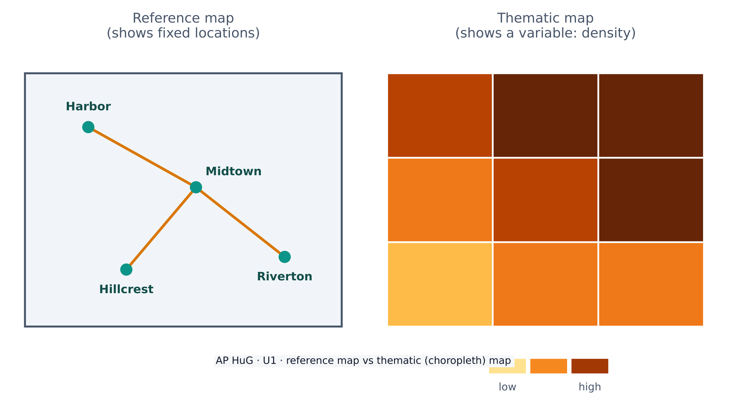
- IMP-1.A.1 Types of maps include reference maps and thematic maps.
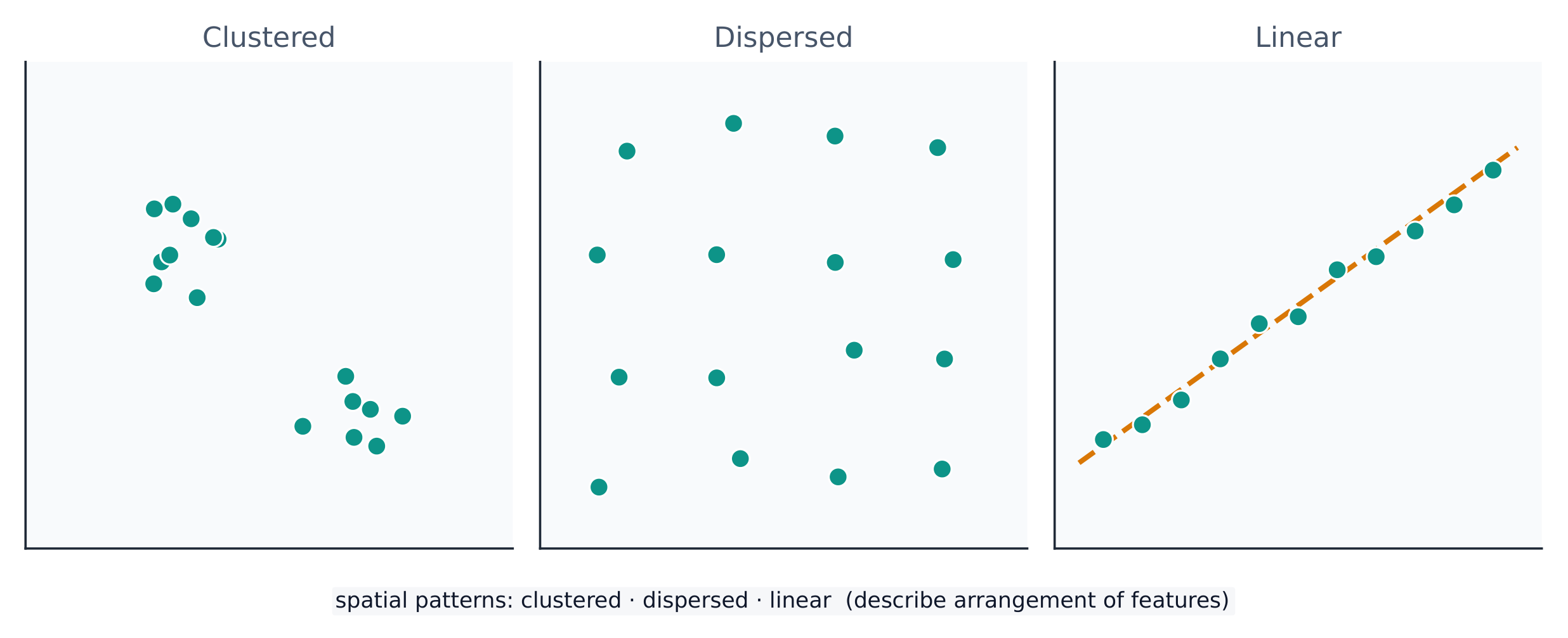
- IMP-1.A.2 Types of spatial patterns represented on maps include absolute and relative distance and direction, clustering, dispersal, and elevation.
- IMP-1.A.3 All maps are selective in information; map projections inevitably distort spatial relationships in shape, area, distance, and direction.
日本語
持続的理解 (IMP-1): 地理学者は、時間、空間、スケールの関係性を表現するためにマップやデータを使用する。
学習目標 IMP-1.A: マップの種類、マップに提示される情報の種類、およびマップに描かれる異なる空間パターンと関係を特定する。
- IMP-1.A.1 マップの種類には、参照マップと主題マップが含まれる。
- IMP-1.A.2 マップに表される空間パターンの種類には、絶対距離と相対距離および方向、集積、分散、標高が含まれる。
- IMP-1.A.3 すべてのマップは情報選択的に作成されており、マップ投影法は必然的に形状、面積、距離、方向における空間的関係を歪曲させる。