English
Enduring Understanding (IMP-1): Geographers use maps and data to depict relationships of time, space, and scale.
Learning Objective IMP-1.A: Identify types of maps, the types of information presented in maps, and different kinds of spatial patterns and relationships portrayed in maps.
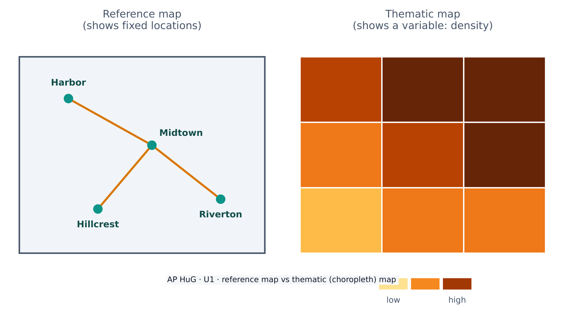
- IMP-1.A.1 Types of maps include reference maps and thematic maps.
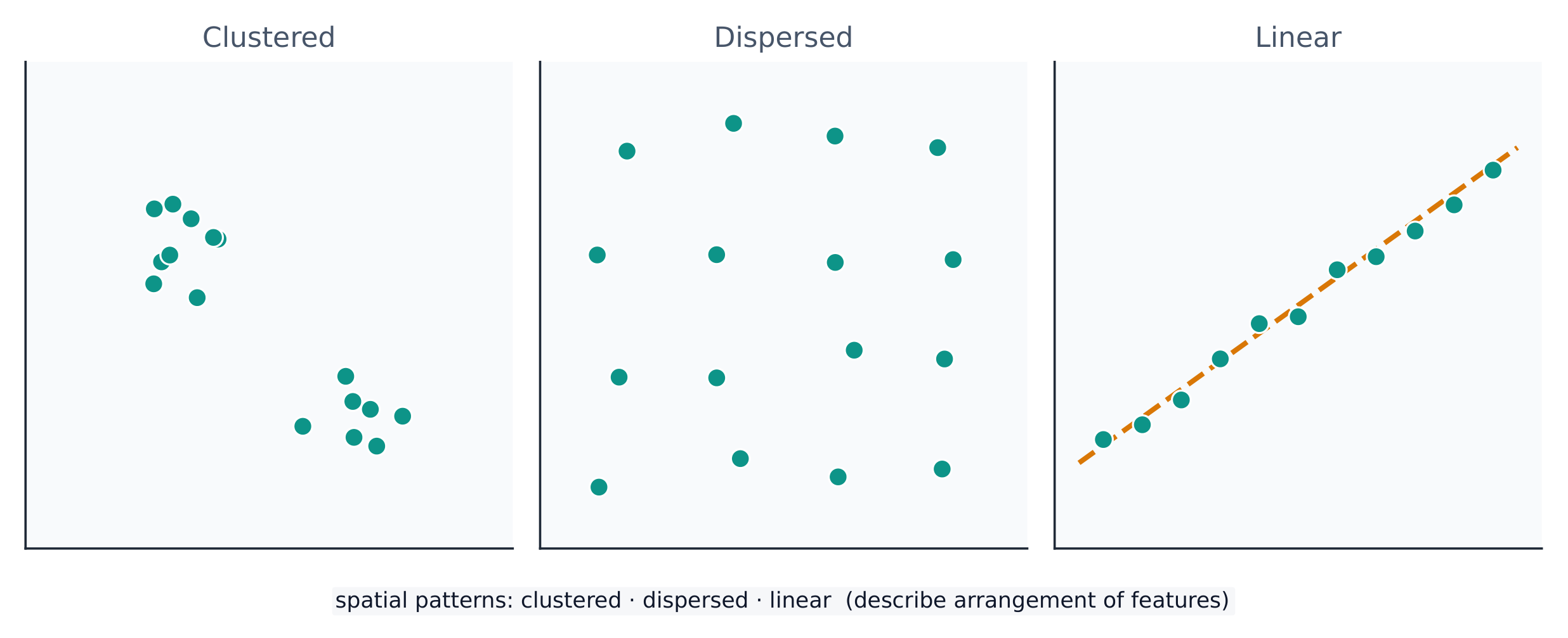
- IMP-1.A.2 Types of spatial patterns represented on maps include absolute and relative distance and direction, clustering, dispersal, and elevation.
- IMP-1.A.3 All maps are selective in information; map projections inevitably distort spatial relationships in shape, area, distance, and direction.
العربية
الفهم الدائم (IMP-1): يستخدم الجغرافيون الخرائط والبيانات لتوضيح علاقات الزمان والمكان والنطاق.
هدف التعلم IMP-1.A: تحديد أنواع الخرائط، وأنواع المعلومات المعروضة فيها، وأنماط وعلاقات مكانية مختلفة مُمثلة في الخرائط.
- IMP-1.A.1 تشمل أنواع الخرائط خرائط المرجع والخرائط الموضوعية.
- IMP-1.A.2 تشمل الأنماط المكانية الممثلة على الخرائط المسافة والاتجاه المطلقين والنسبيين، والتجمع، والتشتت، والارتفاع.
- IMP-1.A.3 جميع الخرائط انتقائية في المعلومات؛ وتؤديaris projections بشكل لا مفر منه إلى تشويه العلاقات المكانية من حيث الشكل والمساحة والمسافة والاتجاه.